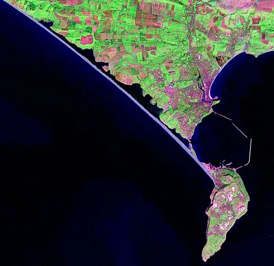
An enhanced Landsat image of West Dorest using the World Wind software displaying NASA imagery.
It really shows the scale of the Chesil Bank and Portland Harbour
Posted by Dorset Guide on

An enhanced Landsat image of West Dorest using the World Wind software displaying NASA imagery.
It really shows the scale of the Chesil Bank and Portland Harbour